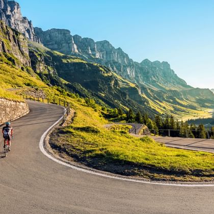
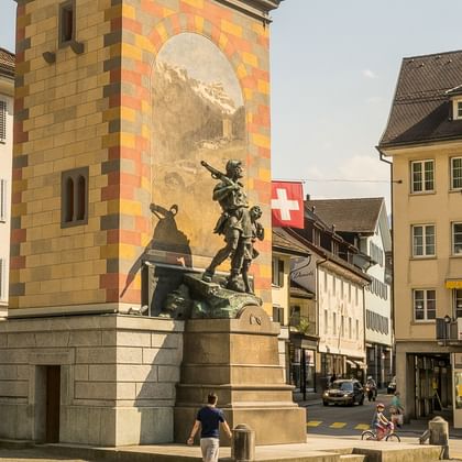
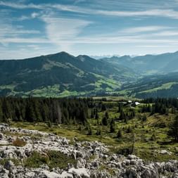
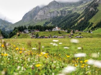
The Alpine Panorama Route crosses the northern Alpine foreland with its many passes and gorges, tradition-rich culture, settlements and mountain farms. The strenuous, stamina-testing trip is rewarded with spectacular views.
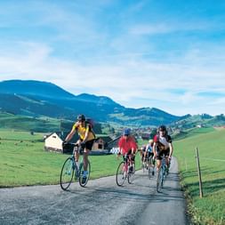
Uphill and down dale in rolling Appenzell, where it’s said that «every second house is a tavern». Friendly farming country with its own character, a finely structured landscape at the foot of the Säntis, marked by a quaint dialect and a dry wit.
Toggenburg more forested and rugged, a land of nooks and crannies where water once provided work and death. Below the alluvial Linth plain, «Zigerland» with mighty limestone cliffs, Glarus once a textile region of international importance.
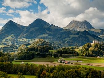
On the climb to the Klausenpass: the Urnerboden, the largest Swiss alp. On the other side of the 1948m pass the Schächental, a mountain landscape with the traditional farming method of moving livestock from one grazing ground to the next.
The mighty Vierwaldstättersee with its impressive panorama. In contrast, the shallow Sarnersee in Obwalden. A treat for pedal-pushing fans: the Glaubenbielen Pass (1611m),a steep pass into the Entlebuch.
After the alpine marshland in rain-rich Glaubenbielen you arrive at the biosphere reserve around Schrattenfluh. Not less enchanting: the hills and dales of the Emmental, classic, pre-alpine rolling countryside.
From «cabbage country» through the rugged Sense ravines to Fribourg im Üechtland. The old city with its cathedral and 200 gothic house facades enjoys a picturesque position in a loop of the river Saane.
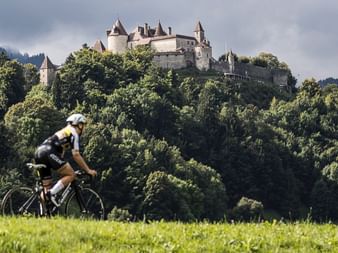
Delightful landscape and a man-made lake: Lac de la Gruyère, land of «Crème de la Gruyère» and black and white cows. On a hill, the tiny castle town of Gruyère with its busy mass of tourists.
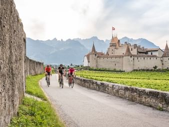
Much Quieter in Obergreyerz and uphill through lonely, rugged Alpine pastures to Hongrin, occasionally resounding with army artillery fire. Intoxicating 1000m descent to the mildness of the Rhonetal, a sensuous downhill run through all climate zones.
approx. 65 - 95 km
1'330 - 1'465 m
1'645 - 1'815 m
Day
9
Departure or extra nights
Tour characteristic
This is the «King of all routes» in Veloland Switzerland! Passing between Lake Constance and Lake Geneva, the Alpine Panorama Route rises up to 2000 meters above sea level and crosses several major and minor mountain passes.
Hard to conquer, sensational in terms of the view! Road bikes can be used here, since this is the only signposted cycle route in Switzerland wit 100% tarseal roads.
Tourist tax, if due, is not included in the price!
Information
Arrival / Parking / Departure:
Parking at Altfeld near train station St. Margrethen, costs CHF 5.-/day, no reservation possible, fees to be paid locally.
Return travel by rail from Montreux to St. Margrethen, time approx. 4.5 hours
Travel Documents
Travel documents "analogous"
By default, your travel package includes a set of travel documents, which we will transmit you in advance. The following documents will inform you about your tour:
Travel program with all organizational details.
Official guidebook « Cycling Switzerland»
maps for your biking and/or hiking routes
Detailed maps about your stage locations
Detailed programme day-by-day
Travel documents "digital"
If you select the option "digital travel documents" when booking, we will provide you with all documents for your trip in a digital form. You will receive a small set of documents with the following content:
Manuals for the use of necessary apps
luggage tags
eventual vouchers
En route you will inform yourself easily with the app of SwitzerlandMobility and other free apps. Background information and all other documents are electronically assigned and can be downloaded to your mobile phone in advance.
Since this option saves resources and costs, a discount of CHF 30.- per room is offered.