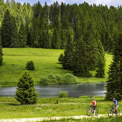
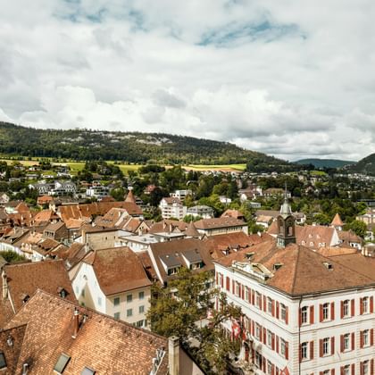
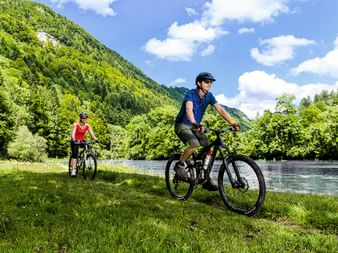
The Jura Bike tour likes to show its teeth once in a while when riding from Basel to Nyon. If you thought the Jura hills were easy to conquer, you will soon learn otherwise on the steep climbs. But the sweaty strenuous sections are followed by dazzling views, thrilling trails, charming stage towns and friendly hosts. At the end of the day, you too will show the Jura Bike your teeth. But we are sure it will be a smile.
More information about the watchmakers from the Vallée du Joux here.
From Basel the route runs mostly level to the foot of the Blauenkamm. After an ascent along the light limestone Blauen ridge, wonderful views over the Birstal valley, ending with a thrilling descent to lovely Laufen.
A long ascent to the «Welschgätterli» high above the Lüsseltal, a rocky pass and the language border. The last part of the tour runs at high level to Délemont.
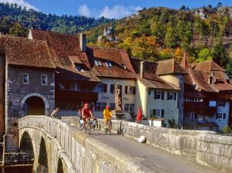
As soon as the city centre of Delémont is behind you, you find yourself in an expansive hilly region: The route leads up to the Les-Rangiers chain, where on the pass of the same name, a racy descent begins to the deeply-carved-out valley of the Doubs. The route follows the quiet river to end in the historic town of St. Ursanne.
Once again, the Doubs dominates the first half of this stage. The stretch along the river runs through a wonderfully remote region, before a long ascent to the Franches Montagnes plateau takes you back to civilization. Dry stone walling, isolated farmsteads and grazing horses accompany you to Saignelégier.
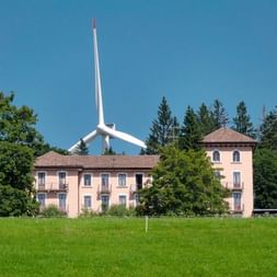
The route leads over the lush green pastures of the Franches Montagnes to Mont Soleil with its numerous impressive wind-power plants and internationally-famous solar energy plant. Your destination is the watch city of La Chaux-de-Fonds.
After a steep ascent, the route runs down to Saut du Doubs, where the river plunges spectacularly into the depths. From the lonely Lac des Brenets the stretch leads to Le Locle and ends in the Val de Travers of absinth fame.
After a long ascent to Le Soliat, it’s worth making a detour to Creux du Van, a unique, imposing cliff arena. The route continues over the «Balcon Vaudois» (Vaud terrace) with stunning views of Lac de Neuchâtel and the Vaud Alps.
Below the rocky Auguilles de Baumles, the route crosses a lonely region with many bunkers from World War II. The last ascent leads into the Vallée de Joux, a true gem with a wealth of flora and two lakes!
The stage runs through pine woods to Col de Marchairuz, the views over Lac Léman will reward you for your uphill effort. A final descent leads along the Jura ridge to the vineyards of the Lac Léman region.
approx. 60 km (Single-Trails: 4 km)
1'015 m
1'620 m
Day
11
Departure or extension
Tour character
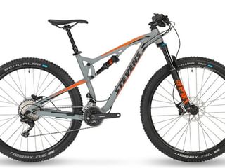
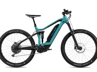
Even though the trails are not as rough as in the Alps, the Jura sometimes offers more challenging passages. Occasional trails and technical passages make this tour interesting even for experienced bikers. Beginners need some endurance and courage. The constant up and down of the Jura hills requires good physical condition. A top route scenically with only a few short connecting sections on tarred roads. This tour can be recommended only to a limited extent with E-MTBs, as rotary gates have to be passed on the way on some days.
Tourist tax, if due, is not included in the price!
Reservation fee of CHF 15 per adult (incl. legally required customer money protection)
Information
Arrival/Parking/Departure:
Parking in the centre of Basel is expensive. Cheap alternative: Parking at Basel Airport.
Return journey by train from Nyon to Basel. Duration: approx. 2.5 to 3 hours.
Travel Documents
Travel documents "digital”
In future we will reduce the amount of printed documents. You will receive instructions to help you find your way around using the SwitzerlandMobility app. We will provide you with further information online. In advance you will receive a small package of documents with the following contents:
On the way, you can easily find your way with the SwitzerlandMobility app and other freely accessible aids. Background information and all other documents are delivered electronically and can be downloaded to your mobile phone in advance.
Let us know if you don't want to do without maps. We will send them to you free of charge.